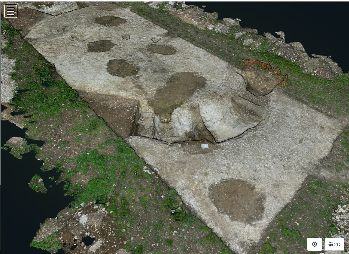
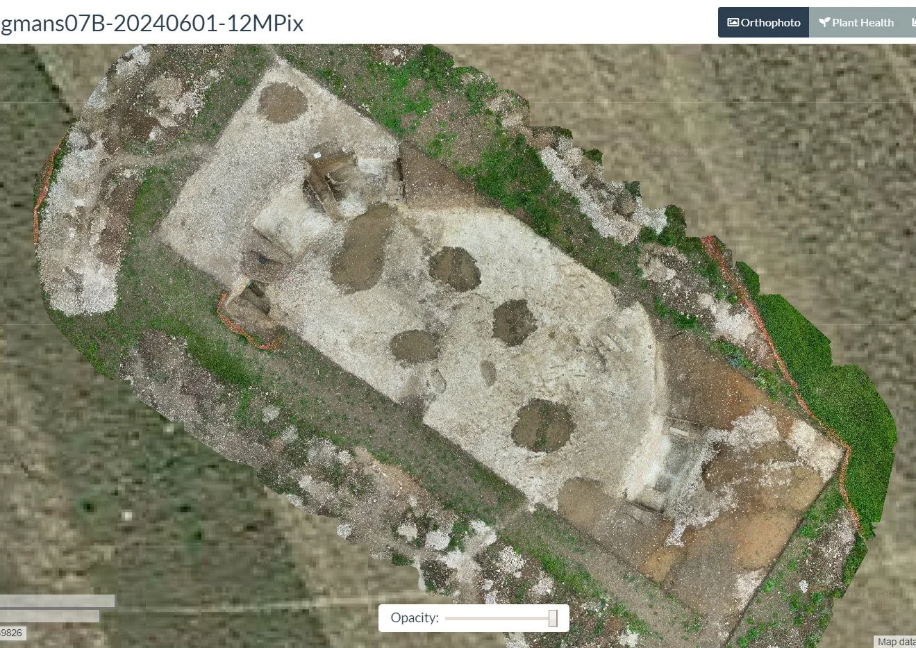
In the next of our online talks hosted by the KAS, Dr David Brownrigg will be discussing how imaging, particularly aerial, can enrich the visualisation of archaeological sites and some of the ways this can be achieved.
The talk explores how aerial imaging can be used to derive standard map (every point seen from vertically above) and interactive 3D views, particularly for evolving archaeological sites. A brief look at the history of aerial imaging and its evolution in archaeology is used to give some context. At the core of map-making, from overlapping low-level aerial views, is the process of recognizing features and matching them, between images, to determine their horizontal locations and elevations. The utility of the resulting high-resolution maps can be enhanced when overlaid/layered with other imaging, typically from satellite sources such as Google and Copernicus, to provide a wider geographical context. Interactive 3D site-wide views provide both general interest and enable technical examination. Combining a sequence of maps, into an animation over the period of an excavation, records and demonstrates aspects of site evolution.


David has worked as a lecturer and researcher at universities in several countries, including Jamaica and the USA, and also for Shell Research and the Royal Observatory Edinburgh. He has degrees, employment and publications covering Computer Science, Astronomy and Mathematics. He is a UK Chartered Engineer, a member of the British Computer Society and a Fellow of the Royal Astronomical Society.
After joining KAS David saw opportunities for applying his experience in imaging to enhance visual records of excavations, such as those on the Lees Court Estate in 2024.
David’s past research interests include automated database systems integration, non-linear image filters, image feature separation, image processing for computer art, creaseless fractal terrain simulation, shape modelling and fractal texturing, simulation of galactic evolution, tunnel lining stress analysis, molecular property prediction, numerical solution of differential equations, and spatial dichotomies.
Joining instructions
Meeting link: https://us06web.zoom.us/j/88940919805?pwd=amiNyGt4ek2qj9vIULLl1CW2WO1Spb.1
Meeting ID: 889 4091 9805
Passcode: 985721
