KAS Newsletter, Issue 109, Summer 2018
Explores archaeological finds, estate updates, surveys, policy discussions, and community insights.
Contributions to the next issue are welcome. See the guidance for contributors and contact Editor Craig Campbell.
Previous
Previous
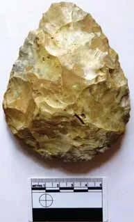
Lees Court Estate: 2018 Excavations
Next
Next
President’s Column
Featured