KAS Magazine, Issue 119, Winter 2022
Ancient sites, medieval animals, Dickens, Tudor and Roman finds, and more.
Contributions to the next issue are welcome. See the guidance for contributors and contact Editor Craig Campbell.
Previous
Previous
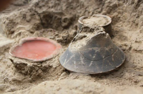
2023 Lees Court Estate: Community Archaeological Excavation Reveals Newly Discovered Prehistoric Past
Next
Next
Welcome from the Editor
Featured