KAS Newsletter, Issue 37, Spring 1997
Proposals for historical memorials, GPS in archaeology, 1797 Naval Mutinies insight, plus society updates and events.
Contributions to the next issue are welcome. See the guidance for contributors and contact Editor Craig Campbell.
Previous
Previous
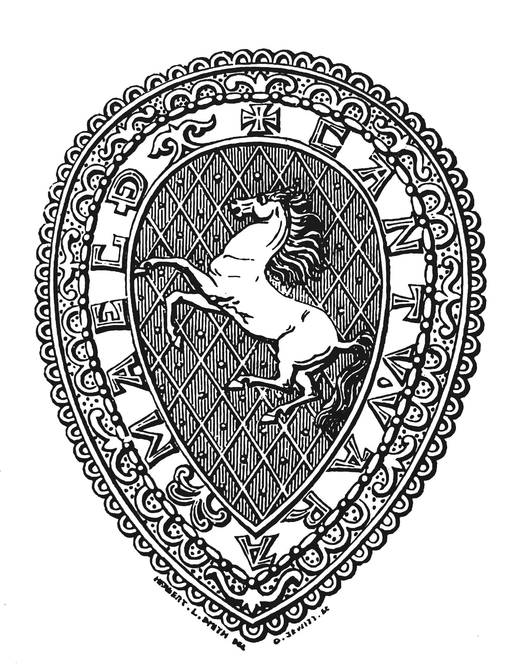
Win A (Small) Prize - Identify our Photograph
Next
Next
A Memorial to the Battle of the Medway in AD 43
Featured