KAS Newsletter, Issue 100, Winter 2014
Featured


Ian Coulson, 2014, KAS Newsletter, Issue 100 (Winter 2014), Maidstone: Kent Archaeological Society.
Roger Cockett, Andrew Mayfield and Richard Taylor, 2014, KAS Newsletter, Issue 100 (Winter 2014), Maidstone: Kent Archaeological Society.
Vince Burrows, 2014, KAS Newsletter, Issue 100 (Winter 2014), Maidstone: Kent Archaeological Society.
Pernille Richards, Hon. Librarian, 2014, KAS Newsletter, Issue 100 (Winter 2014), Maidstone: Kent Archaeological Society.
Mike Clinch, 2014, KAS Newsletter, Issue 100 (Winter 2014), Maidstone: Kent Archaeological Society.
Paul Lee, 2014, KAS Newsletter, Issue 100 (Winter 2014), Maidstone: Kent Archaeological Society.
Ian Coulson, 2014, KAS Newsletter, Issue 100 (Winter 2014), Maidstone: Kent Archaeological Society.
Defence of Swale Project - Simon Mason, Victor Smith, Alan Anstee and Richard Taylor, 2014, KAS Newsletter, Issue 100 (Winter 2014), Maidstone: Kent Archaeological Society.
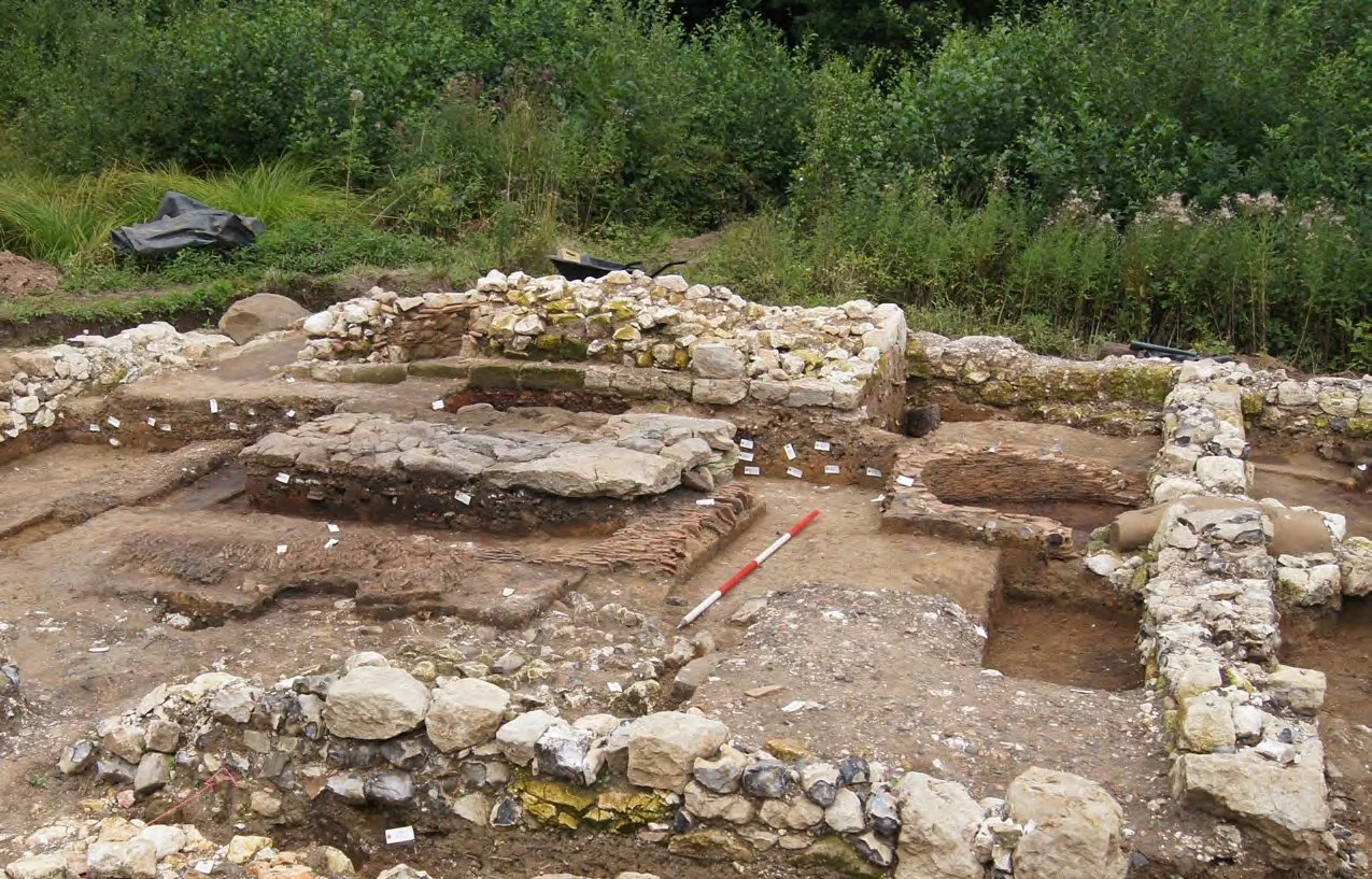
Dr Alexandra Knox, Department of Archaeology, University of Reading, 2014, KAS Newsletter, Issue 100 (Winter 2014), Maidstone: Kent Archaeological Society.