KAS Newsletter, Issue 36, Winter 1996
Insights into Kent's archaeology, heritage conservation efforts, and society events for engaging with local history.
Contributions to the next issue are welcome. See the guidance for contributors and contact Editor Craig Campbell.
Previous
Previous
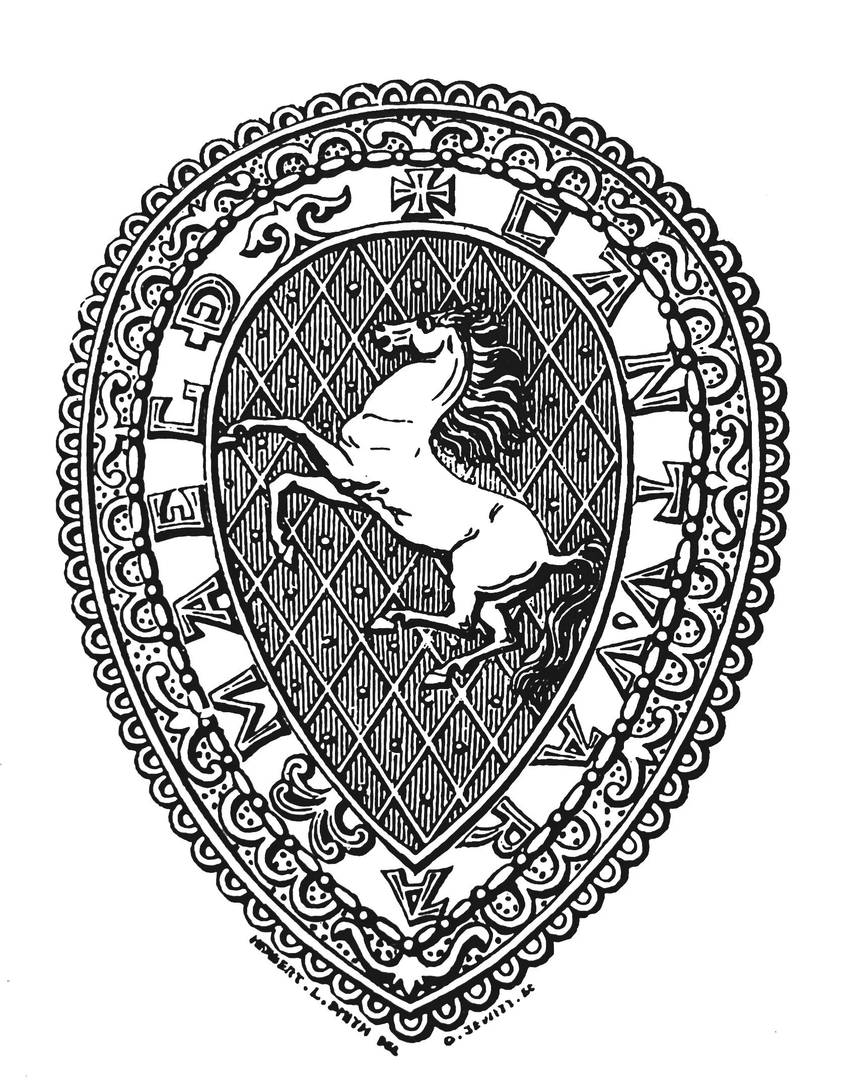
The Castles of Kent No. 1.
Next
Next
On Archaeology, Planning and Sites and Monuments Records
Featured