Kent LiDAR Portal
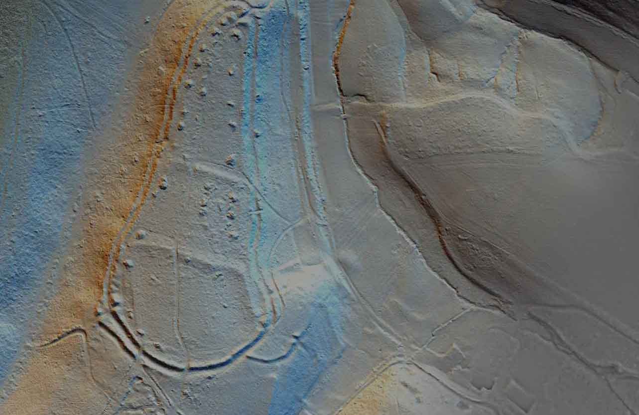
The Kent LiDAR Portal makes available imagery from various LiDAR datasets from across the county, including the recently obtained high resolution data covering over 190 square km along the Darent Valley and area of the Sevenoaks Commons, at the western end of the Kent Downs AONB.
Kent Landscape Information System
The Kent Landscape Information Sytstem (KLIS) contains details on countryside access, landscape character, identifies opportunities for habitat creation and landscape restoration, the Kent habitat survey as well as areas designated for their conservation value.


