Archaeologia Cantiana, Volume 138, 2017
Featured


James Lloyd, 2017, Archaeologia Cantiana, Volume 138, pp. 1-36. Maidstone: Kent Archaeological Society.
Sophia Adams, 2017, Archaeologia Cantiana, Volume 138, pp. 37. Maidstone: Kent Archaeological Society.
Richard Helm and Sheila Sweetinburgh, 2017, Archaeologia Cantiana, Volume 138, pp. 65. Maidstone: Kent Archaeological Society.
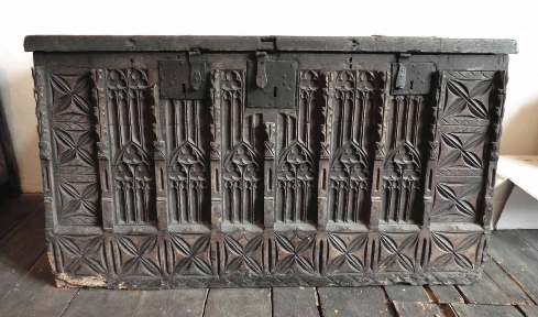
Rose Broadley, 2017, Archaeologia Cantiana, Volume 138, pp. 89. Maidstone: Kent Archaeological Society.
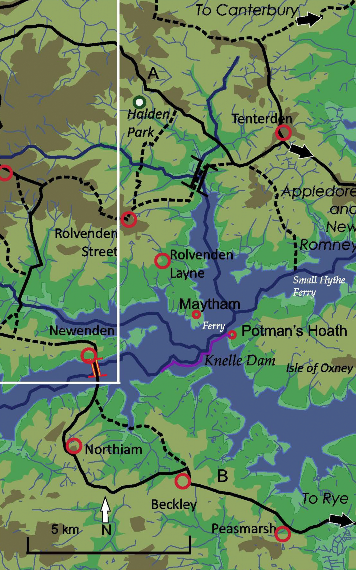
Christopher Pickvance, 2017, Archaeologia Cantiana, Volume 138, pp. 105. Maidstone: Kent Archaeological Society.
Keith Parfitt and Richard Hoskins, 2017, Archaeologia Cantiana, Volume 138, pp. 129. Maidstone: Kent Archaeological Society.
Linda Taylor, 2017, Archaeologia Cantiana, Volume 138, pp. 149. Maidstone: Kent Archaeological Society.
Malcolm Davies, 2017, Archaeologia Cantiana, Volume 138, pp. 165. Maidstone: Kent Archaeological Society.
Sheila Sweetinburgh, 2017, Archaeologia Cantiana, Volume 138, pp. 179. Maidstone: Kent Archaeological Society.
Robert Baldwin, 2017, Archaeologia Cantiana, Volume 138, pp. 201. Maidstone: Kent Archaeological Society.
Brendan Chester-Kadwell, 2017, Archaeologia Cantiana, Volume 138, pp. 227. Maidstone: Kent Archaeological Society.
Vera and Trevor Gibbons, 2017, Archaeologia Cantiana, Volume 138, pp. 257. Maidstone: Kent Archaeological Society.
Daphne Joynes., 2017, Archaeologia Cantiana, Volume 138, pp. 279. Maidstone: Kent Archaeological Society.
Peter Hobbs, 2017, Archaeologia Cantiana, Volume 138, pp. 291. Maidstone: Kent Archaeological Society.
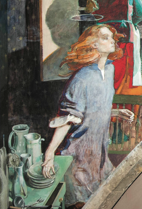
Adrian Weston, 2017, Archaeologia Cantiana, Volume 138, pp. 301. Maidstone: Kent Archaeological Society.
2017, Archaeologia Cantiana, Volume 138, pp. 309. Maidstone: Kent Archaeological Society.
2017, Archaeologia Cantiana, Volume 138, pp. 327. Maidstone: Kent Archaeological Society.
2017, Archaeologia Cantiana, Volume 138, pp. 337. Maidstone: Kent Archaeological Society.
2017, Archaeologia Cantiana, Volume 138, pp. 339. Maidstone: Kent Archaeological Society.
2017, Archaeologia Cantiana, Volume 138, pp. 342. Maidstone: Kent Archaeological Society.
2017, Archaeologia Cantiana, Volume 138, pp. 343. Maidstone: Kent Archaeological Society.
2017, Archaeologia Cantiana, Volume 138. Maidstone: Kent Archaeological Society.